|

 Save time and money by using our booking service.
more details
|
| |
|

|
|


|
|
|
|
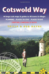
Cotswold Way (British Walking Guide) Second Edition
|
by Tricia & Bob Hayne
Published:
June 2012
Binding: Paperback, 192 Pages
Dimensions: 180 mm x 120 mm
Weight:
220 grams
|
RRP:
�11.99

|
| |
 The Cotswold Way is a 102-mile (163km) National Trail that runs from Chipping Campden to Bath, following the beautiful Cotswold escarpment for much of its course. The trail leads through quintessentially English countryside with little villages of honey-coloured stone, from open farmland to the historic city of Bath.
- Includes 44 detailed walking maps: the largest-scale maps available � At just under 1:20,000 (8cm or 31/8 inches to one mile) these are bigger than even the most detailed walking maps currently available in the shops.
- Unique mapping features � walking times, directions, tricky junctions, places to stay, places to eat, points of interest. These are not general-purpose maps but fully edited maps drawn by walkers for walkers.
- Itineraries for all walkers � whether hiking the entire route or sampling highlights on day walks or short breaks. Detailed public transport information for all access points.
- Practical information for all budgets � what to see; where to eat (caf�s, pubs and restaurants); where to stay (B&Bs, hotels, hostels and campsites).
Back to the Books Page |
to top of the Page
|
|


